
Travel world game: How to explore countries and master global geography

SwappaHome Editorial Team
Home Exchange & Slow Travel Editorial
Key Takeaways A travel world game can turn geography practice into a memorable journey, especially when it combines maps, clues, routes, and cultural context.…
Key Takeaways
A travel world game can turn geography practice into a memorable journey, especially when it combines maps, clues, routes, and cultural context.
- Choose between quick quizzes and slower route-building challenges.
- Start with familiar regions, then expand into less-known parts of the map.
- Use borders, capitals, flags, languages, and landmarks as connected clues.
- Review wrong answers so each mistake becomes useful knowledge.
- Pair virtual exploration with respectful real-world research.
What makes a travel world game engaging
The best travel world game experiences feel like more than a sequence of questions. They give players a reason to move across the map, notice relationships between places, and remember what they have learned. A strong game also makes progress visible without allowing points to become more important than discovery.
Country and city exploration
Country and city exploration gives geography a human scale. Instead of seeing only a colored shape on a map, players can connect a country with its capital, major cities, landscapes, food, languages, or familiar travel images. Moving between broad country knowledge and specific city clues keeps the experience varied.
A good challenge does not need to reveal every fact at once. It might begin with a location, then offer a capital or landmark clue when the player needs a nudge. That gradual approach helps a place stay in memory because the answer is discovered rather than simply read.
Border-based route building
Route-building games add a satisfying logic puzzle to geography. The player must think about which countries touch, where a route can continue, and whether an island can be reached through a land-border chain. The map becomes a network rather than a collection of isolated names.
This is also where a daily geography challenge can make a short session feel purposeful. A route from one distant country to another encourages players to consider intermediate places they might otherwise overlook. Each guess becomes both a move in the puzzle and a small geography lesson.
Landmark and culture challenges
Landmarks and cultural details provide memorable hooks, but they work best when they are presented with care. A question about a building, festival, landscape, or everyday custom should invite curiosity rather than reduce a place to one postcard image. Players should leave with a wider sense of the destination, not a shortcut based on stereotypes.
The strongest clues also vary in difficulty. A recognizable monument may welcome beginners, while a regional food tradition or architectural detail can challenge experienced players. Context makes clues memorable because it connects visual recognition with a place and its people.
Progression, points, and rewards
Points can give a session shape, while levels and collections provide a reason to return. Still, rewards should support learning rather than encourage hurried guessing. A calm bonus for completing a route, remembering a missed capital, or exploring a new region can be more satisfying than a leaderboard alone.
Progress feels especially meaningful when the game shows improvement in several ways. Players might see more accurate guesses, longer routes, faster recognition, or a growing list of visited countries. Those measures reward attention and persistence, not just prior knowledge.
How to choose the right travel world game
Different games suit different moods and learning goals. Some are quick location quizzes, while others ask players to plan a connected journey over several turns. Before choosing, consider how much time you want to spend, what kind of geography you enjoy, and whether the game will be used alone or with others.
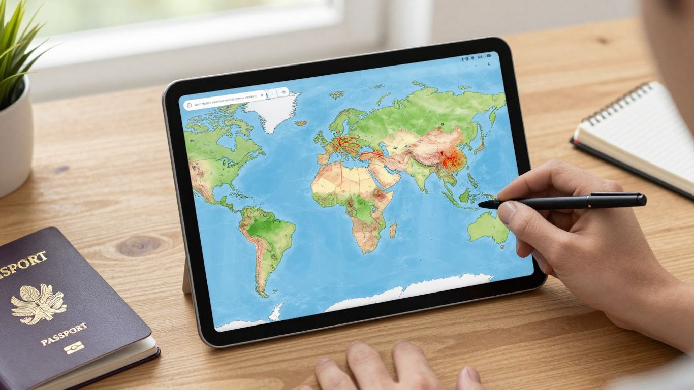 Colorful world map game on tablet
Geography quiz versus route-planning gameplay
A quiz format is useful when you want short rounds focused on countries, cities, flags, capitals, or locations. Route-planning gameplay is slower and more strategic because every answer affects the next possible move. If you like deduction, borders, and map reading, a route game may hold your attention longer.
A border route game is a natural choice for players who want geography to behave like a puzzle. By contrast, a clue-based quiz can be better for building recognition across many topics in one sitting. Neither format is automatically better; the right choice depends on whether you want breadth, strategy, or a mixture of both.
Mobile, browser, and console options
The platform changes the feel of play. A browser game is convenient for a quick break or a classroom screen, while a mobile game can travel with you and support short practice sessions. Console play may suit families who prefer a shared screen and a more deliberate group activity.
Check the controls and map readability before committing to a longer session. Small labels, awkward zooming, or slow navigation can turn a pleasant geography challenge into a test of patience. A clean interface matters most when the game depends on visual clues.
Solo play, multiplayer, and classroom use
Solo play gives you time to reason without pressure, pause between turns, and investigate an unfamiliar answer. Multiplayer adds conversation and healthy competition, but it can also favor the fastest player rather than the most reflective one. For classrooms, teachers may want cooperative rounds in which students explain why an answer fits.
The most flexible games allow players to adjust the pace. A shared map can support a family discussion, a pair of students can compare route ideas, and an individual learner can repeat a challenge until the pattern becomes clear. The social format should reinforce curiosity, not make uncertainty embarrassing.
Offline access, ads, and in-app purchases
Practical details often determine whether a game becomes a lasting habit. Look for clear information about offline play, advertising, locked regions, account requirements, and optional purchases. These details matter even more when children use the game or when internet access is unreliable.
It is also worth checking how much of the core experience is available before paying. A useful trial should let you understand the map design, clue quality, and difficulty curve. That small check can prevent a technically attractive game from becoming frustrating after a few sessions.
How to start playing and build your first route
A first route can feel intimidating when the map is full of unfamiliar names. The easiest way in is to choose a manageable region and treat each answer as a clue for the next move. You do not need to know the whole world before you begin; you only need a method for narrowing possibilities.
Pick a region or starting country
Begin with a region you recognize from school, family travel, books, or news. Familiarity gives you a few anchor points, while a nearby unfamiliar country creates a useful challenge. Europe, Southeast Asia, Central America, or a single coastline can all work well as starting areas.
Choose a starting country with several land neighbors if the game depends on borders. That gives you more routes to consider and makes the opening turns less dependent on one lucky answer. Once the basic pattern feels comfortable, move to a region with unusual shapes or fewer obvious connections.
Read borders, maps, and travel clues
Before guessing, study the shape of the territory and the countries around it. Coastlines, narrow corridors, peninsulas, and clusters of small states can reveal more than a name alone. A clue about language or a capital may confirm what the map has already suggested.
Try to combine clues instead of treating each one separately. A country in a particular region with a certain language family and a distinctive coastline has a smaller set of likely answers. This habit transfers well to other geography challenges because it replaces random recall with structured observation.
Connect destinations with legal routes
A legal route follows the rules of the game, which may require every step to share a land border with the previous one. That means a visually close destination may still be unreachable without passing through several countries. Islands can require a different game mechanic, so read the route rules before planning.
Sketch the route mentally from both ends when the destination is far away. Working forward and backward can reveal a meeting point and reduce the number of possibilities. If the game rewards shorter routes, compare alternatives only after you have found one valid path.
Track visited countries and completed challenges
A simple record helps turn scattered play into a learning path. Mark countries you have visited, note the ones that caused trouble, and save especially useful border connections. Reviewing this record later can reveal gaps that are hard to notice during a timed round.
You can also set a modest weekly goal, such as completing routes across one region or learning five new capitals. The point is consistency rather than volume. A few thoughtful sessions usually create stronger recall than one long burst followed by a month away.
Strategies for improving your geography skills
Geography improves when facts are connected into patterns. Country shapes become easier when paired with neighbors, capitals become easier when placed in a region, and landmarks become easier when viewed alongside climate and history. A travel world game supplies repetition, but the player still needs to notice relationships.
Learn country shapes and neighboring borders
Start with broad silhouettes rather than trying to memorize every detail. Notice which countries are long, compact, hooked, landlocked, or split by narrow passages. Then attach two or three neighboring countries to each shape so that the memory has a surrounding frame.
Do not worry if your first mental map is imperfect. Repeated exposure gradually improves the edges, just as tracing a route several times makes its turns familiar. Border knowledge is particularly powerful because one remembered neighbor can help identify several countries nearby.
Use capitals, flags, and language clues
Capitals, flags, and languages work best as a combined set. A flag may narrow the options, while a capital confirms the answer; language clues can help distinguish countries with similar colors or shapes. Learning these details in small regional groups keeps the task manageable.
Try making a three-part association for each new country: location, capital, and one visual or linguistic feature. The association does not have to be clever. It only needs to give your memory more than one path back to the answer.
Recognize landmarks and regional patterns
Landmarks can anchor a location quickly, but regional patterns are often more reliable. Architecture, vegetation, road markings, terrain, and climate may point toward a part of the world even when no famous site appears. Look for combinations rather than one dramatic clue.
A city challenge becomes richer when you ask what surrounds the city. Is it coastal, mountainous, river-based, or part of a dense urban corridor? Those questions turn recognition into geographic reasoning and make unfamiliar destinations less abstract.
Review mistakes instead of guessing repeatedly
Wrong answers are useful when you pause long enough to understand them. Write down what confused you, then compare the correct country with your original guess. Perhaps the shapes were similar, the capitals were mixed up, or a border was remembered incorrectly.
A short review routine can be simple:
- Name the clue you missed.
- Locate the correct country on a wider map.
- Identify two neighbors or nearby cities.
- Revisit the same fact a few days later.
This process changes a miss into a durable correction. If you keep guessing without reviewing, the same mistaken association can become more familiar than the correct one.
Travel world game modes and challenge ideas
A varied set of modes keeps geography practice from becoming repetitive. Fast rounds build recognition, route races develop spatial reasoning, and custom journeys give players room to follow personal interests. Even a simple map can support many styles when the rules change slightly.
Timed country-identification rounds
Timed rounds create energy and encourage quick retrieval. They are best used for facts you have already practiced, because a tight clock can make new material feel like a memory test rather than an invitation to learn. Give yourself a few seconds to inspect the whole clue before answering.
For a gentler version, use a personal time target instead of competing with another player. Try to improve accuracy first, then reduce the time gradually. Speed is useful, but it should follow understanding rather than replace it.
Border connection and route races
Route races ask players to connect two destinations while avoiding dead ends. The challenge can focus on finding any valid route or on discovering the shortest one. With two players, each person can explain the next step before placing it on the map.
A useful variation removes the clock and adds a route explanation. Players must name each country and describe why the connection is legal. That small change makes the activity less about speed and more about accurate geographic thinking.
City, flag, and capital challenges
These modes offer a change of scale. A capital round tests political geography, a flag round tests visual memory, and a city round asks players to place urban centers within a larger country or region. Rotating among them prevents one familiar skill from carrying every session.
You can also combine two categories, such as identifying a capital and then naming a neighboring country. Combined prompts are harder, but they create stronger links between facts that are often learned separately.
Custom journeys across continents
Custom journeys allow players to build a narrative around the map. Follow a coastline, trace a historical trade region, visit countries with a shared language, or create a route through places connected to a book or film. The journey becomes more memorable when the theme has personal meaning.
Keep the route realistic within the game's rules. If a challenge relies on land borders, do not treat a flight between islands as an ordinary map step. Clear rules let creativity flourish without making the outcome arbitrary.
How to use a travel world game for learning
A game can be a useful starting point for learning, but it should not be the entire lesson. Let gameplay raise questions, then give students time to investigate the answers through maps, articles, images, and discussion. This approach keeps the activity lively while making room for nuance.
Build geography lessons around gameplay
A teacher can begin with a short route or identification round, then ask students to explain their reasoning. The follow-up might cover borders, climate, population patterns, migration, or the history behind a city. The game supplies a shared starting point for a more thoughtful conversation.
For younger learners, a family travel learning guide can inspire ways to connect geography with practical travel conversations and cultural learning. The game should remain age-appropriate, with questions that invite explanation instead of rewarding memorization alone.
Combine virtual travel with real-world research
After a round, choose one unfamiliar country and research it from several angles. Students might locate the capital, examine a physical map, learn about a local food tradition, and compare two reliable sources. The goal is to move from recognition to understanding.
A real-world travel perspective can add another layer. SwappaHome travel guides offer destination advice and trip-planning inspiration across the Americas, which can help learners compare a map location with the neighborhoods, landscapes, and practical details of visiting it. Keep the distinction clear: a game is a simulation, while research must reflect the complexity of a real place.
Encourage cultural curiosity beyond memorization
Country facts should open a door rather than close a subject. Ask what languages are spoken, how people describe their own traditions, and how geography influences work, food, transport, or settlement. Avoid suggesting that one custom defines everyone in a country.
Students can create questions for one another instead of only answering teacher-made prompts. This gives them practice in deciding which details are meaningful and which are shallow. Curiosity grows when learners are allowed to follow an unexpected connection.
Measure progress with goals and score tracking
Scores are most useful when they show a pattern over time. Track accuracy by region, the number of hints used, route length, or improvement after review. A simple table can make those changes easier to discuss without turning every lesson into a competition.
| Measure | What it shows | Useful review question |
|---|---|---|
| Accuracy | Recognition of countries or cities | Which regions remain difficult? |
| Hints used | Confidence and clue interpretation | Which clues need more practice? |
| Route length | Border and map reasoning | Can a shorter valid path be found? |
| Review improvement | Retention after mistakes | Did the same error return? |
The table works best as a conversation starter, not a final judgment. A learner who uses more hints but explains the geography clearly may be making better progress than someone who guesses quickly. Use the numbers to decide what to practice next.
How to create a better virtual travel experience
A convincing virtual travel experience depends on more than a detailed map. It needs fair rules, accurate information, respectful cultural material, and a difficulty curve that lets different players participate. Small design choices can determine whether the game feels welcoming or exhausting.
Balance difficulty with accessible clues
Begin with clues that establish a foothold, then add complexity for players who want a challenge. A broad regional hint can help a beginner, while an optional landmark, language, or border clue can keep an experienced player engaged. Difficulty should feel adjustable rather than mysterious.
Avoid making obscure facts the only path to success. Players should be able to reason from visible geography, not just recall a trivia detail they have happened to encounter. Good clues reward observation as well as memory.
Avoid stereotypes in cultural content
Cultural content deserves the same care as map data. Do not present a single dish, outfit, celebration, or personality trait as the definition of a whole country. Use specific context, acknowledge regional variety, and prefer sources that include local perspectives.
This approach also makes the game more interesting. A place becomes richer when players encounter several everyday realities rather than one exaggerated image. Respectful detail supports learning without turning culture into decoration.
Add accurate maps and current information
Maps should distinguish borders, coastlines, territories, and disputed areas with appropriate care. Labels and place names need regular review because political and geographic information can change. When uncertainty exists, the game should explain its convention instead of presenting a complicated issue as perfectly simple.
A virtual route is only as trustworthy as the information behind it. Designers and educators should check sources, update outdated clues, and make corrections visible when errors are found. Accuracy builds confidence, especially when players use the game for study.
Keep gameplay engaging for different age groups
Children may prefer visual discovery and imaginative journeys, while older learners may enjoy strategy, speed, or detailed explanations. Families and classrooms benefit from modes that allow players to cooperate rather than forcing everyone into the same level of knowledge.
For a broader travel context, SwappaHome's global exchange network describes travel possibilities across more than 50 countries and 392 curated cities. That kind of real-world destination range can inspire virtual route themes, provided the game treats each location as more than a square on a map.
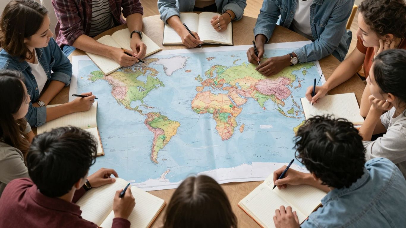 Friends exploring a world map together
A strong experience leaves room for conversation after the round. Players can compare routes, question clues, and choose a destination to investigate next. That pause is often where the map becomes connected to genuine curiosity.
Conclusion
A travel world game works best when it turns geography into a chain of meaningful decisions: recognize a clue, connect a border, investigate a place, and remember what made it distinctive. Choose a format that suits your pace, review mistakes patiently, and let virtual routes lead toward deeper curiosity about the real world.
Frequently Asked Questions
What is a travel world game?
A travel world game is an interactive geography experience built around exploring countries, cities, borders, landmarks, routes, or cultural clues. Some games focus on quick questions, while others ask players to plan connected journeys on a map.
Can a travel world game improve geography skills?
Yes, regular play can strengthen recognition and recall, especially when players review wrong answers. The benefit is greater when game sessions are paired with map study, explanation, and research beyond the immediate prompt.
What should beginners learn first?
Beginners can start with broad regions, country shapes, neighboring borders, and a few major capitals. Familiar anchor points make it easier to place less familiar countries later.
Are route-building games difficult?
They can be challenging because a valid route depends on geographic connections rather than visual distance alone. Starting with nearby destinations and shorter routes makes the rules easier to understand.
How can children learn from geography games?
Children can play short rounds, explain their guesses, and research one new place after each session. Activities involving drawing maps, comparing flags, or planning an imaginary journey can make the learning more active.
Should players focus on speed or accuracy?
Accuracy should come first, particularly while learning new material. Once the clues and patterns become familiar, gradually adding a time limit can build faster recall without encouraging random guesses.
How can a game avoid cultural stereotypes?
It should use varied, well-contextualized information and avoid presenting one food, landmark, tradition, or behavior as representative of everyone. Including local perspectives and acknowledging regional differences leads to more respectful content.

Published by
SwappaHome
SwappaHome Editorial Team
Home Exchange & Slow Travel Editorial
The SwappaHome Editorial Team brings together travel research, home-exchange community insights, and platform data to produce practical guides for first-time and experienced home swappers. Every article cites real platforms, current market rates, and verifiable city-level facts so readers can make informed decisions without guessing.
Ready to try home swapping?
Join SwappaHome and start traveling by exchanging homes. Get 7 free credits when you sign up!